
Lêer:Location Transnistria Europe.png

Grootte van hierdie voorskou: 687 × 600 piksels. Ander resolusies: 275 × 240 piksels | 550 × 480 piksels | 880 × 768 piksels | 1 173 × 1 024 piksels | 2 052 × 1 792 piksels.
Oorspronklike lêer (2 052 × 1 792 piksels, lêergrootte: 419 KG, MIME-tipe: image/png)
Opsomming
| Beskrywing |
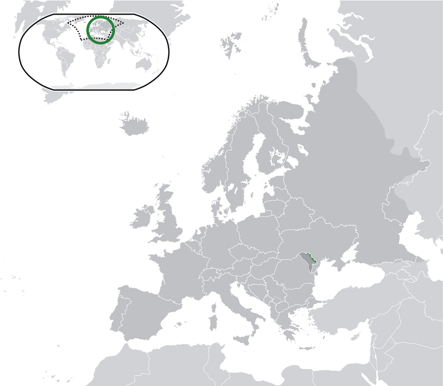
English: Location Moldova Europe.png
English: Transnistria (green) / Moldova (dark grey) / Europe and other regions (light grey); inspired by and consistent with general country locator maps by User:Vardion, et al |
| Datum | |
| Bron | Eie werk |
| Outeur | CatJar |
Lisensiëring
| Ek, die outeursreghouer van hierdie werk, stel dit hiermee in die publieke domein vry. Dit geld wêreldwyd. In sommige lande is dit dalk nie wettiglik moontlik nie. Indien so: Ek verleen aan enigiemand die reg om hierdie werk te gebruik vir enige doel, sonder voorwaardes, tensy sulke voorwaardes deur die wet vereis word. |
Lêergeskiedenis
Klik op die datum/tyd om te sien hoe die lêer destyds gelyk het.
| Datum/Tyd | Duimnael | Dimensies | Gebruiker | Opmerking | |
|---|---|---|---|---|---|
| huidig | 23:57, 11 Julie 2020 | | 2 052 × 1 792 (419 KG) | De728631 | added South Sudan to World map |
| 22:29, 24 Desember 2009 |  | 2 052 × 1 792 (353 KG) | CatJar | {{Information |Description={{en|1= Location Moldova Europe.png '''English:''' Transnistria (green) / Moldova (dark grey) / Europe and other regions (light grey); inspired by and consistent with general country locator maps by User:Vardion, et al}} |Source |
Lêergebruik
Die volgende bladsy gebruik dié lêer:
Globale lêergebruik
Die volgende ander wiki's gebruik hierdie lêer:
- Gebruik in ar.wikipedia.org
- Gebruik in be-tarask.wikipedia.org
- Gebruik in crh.wikipedia.org
- Gebruik in cs.wikipedia.org
- Gebruik in el.wikivoyage.org
- Gebruik in en.wikipedia.org
- Gebruik in eo.wikipedia.org
- Gebruik in fa.wikipedia.org
- Gebruik in fr.wikipedia.org
- Gebruik in incubator.wikimedia.org
- Gebruik in lv.wikipedia.org
- Gebruik in mg.wikipedia.org
- Gebruik in ml.wikipedia.org
- Gebruik in pt.wikipedia.org
- Gebruik in vi.wikipedia.org
- Gebruik in war.wikipedia.org