
Lêer:RonseLocatie.png
Geen hoër resolusie is beskikbaar nie.
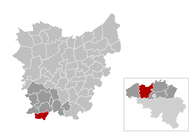
RonseLocatie.png (655 × 462 piksels, lêergrootte: 8 KG, MIME-tipe: image/png)

|
This locator map image could be re-created using vector graphics as an SVG file. This has several advantages; see Commons:Media for cleanup for more information. If an SVG form of this image is available, please upload it and afterwards replace this template with
{{vector version available|new image name}}.
It is recommended to name the SVG file “RonseLocatie.svg”—then the template Vector version available (or Vva) does not need the new image name parameter. |
from nl.wiki.
| This work has been released into the public domain by its author, LennartBolks. This applies worldwide. In sommige lande is dit dalk nie wettiglik moontlik nie. Indien so: |
Lêergeskiedenis
Klik op die datum/tyd om te sien hoe die lêer destyds gelyk het.
| Datum/Tyd | Duimnaelskets | Dimensies | Gebruiker | Opmerking | |
|---|---|---|---|---|---|
| huidig | 13:42, 13 Januarie 2021 | | 655 × 462 (8 KG) | Floris DC | Hogere resolutie |
| 21:48, 2 Januarie 2019 |  | 309 × 218 (10 KG) | Wester | Gemeentefusies 01/01/2019 | |
| 20:40, 5 Mei 2014 |  | 270 × 203 (5 KG) | Romain Rousseau | Reverted to version as of 23:27, 27 April 2006 | |
| 20:35, 5 Mei 2014 |  | 175 × 179 (4 KG) | Romain Rousseau | mise en transparence, rogné | |
| 23:27, 27 April 2006 |  | 270 × 203 (5 KG) | Profoss | from nl.wiki. {{PD-user|LennartBolks}} Category:Maps of province of East Flanders |
Lêergebruik
Die volgende bladsy gebruik dié lêer:
Globale lêergebruik
Die volgende ander wiki's gebruik hierdie lêer:
- Gebruik in eo.wikipedia.org
- Gebruik in et.wikipedia.org
- Gebruik in fa.wikipedia.org
- Gebruik in it.wikipedia.org
- Gebruik in pl.wikivoyage.org
- Gebruik in pt.wikipedia.org
- Gebruik in ro.wikipedia.org
- Gebruik in sk.wikipedia.org
- Gebruik in sv.wikipedia.org
- Gebruik in vi.wikipedia.org
- Gebruik in vls.wikipedia.org