
Lêer:Europe with flags.png

Grootte van hierdie voorskou: 778 × 599 piksels. Ander resolusies: 312 × 240 piksels | 623 × 480 piksels | 997 × 768 piksels | 1 280 × 986 piksels | 2 560 × 1 972 piksels | 2 990 × 2 303 piksels.
Oorspronklike lêer (2 990 × 2 303 piksels, lêergrootte: 789 KG, MIME-tipe: image/png)
Opsomming
| Beskrywing |
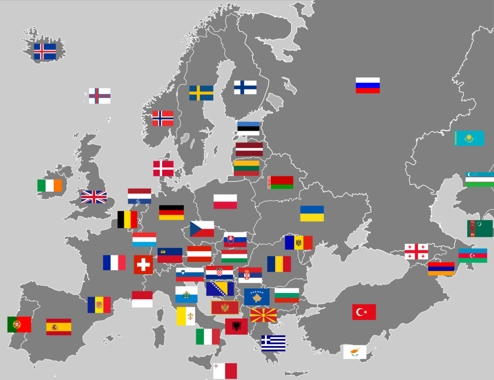
English: Map of European continent with flags. This is not a map of flags in "traditional" Europe, as it includes transcontinental countries associated with Europe but with small or no parts within it. Note: The map inconsistently shows some entirely Central Asian states, some but not all dependent territories, and some but not all disputed states. |
|||
| Datum | ||||
| Bron | Eie werk (Original text: I created this work entirely by myself.) | |||
| Outeur | Joebloggsy (talk) | |||
| Ander weergawes |
|


Lisensiëring
| This work has been released into the public domain by its author, Joebloggsy at Engels Wikipedia. This applies worldwide. In sommige lande is dit dalk nie wettiglik moontlik nie. Indien so: Joebloggsy grants anyone the right to use this work for any purpose, without any conditions, unless such conditions are required by law. |
Oorspronklike oplaailogboek
Transferred from en.wikipedia to Commons by Drilnoth using CommonsHelper.
The original description page was here. All following user names refer to en.wikipedia.
- 2009-04-01 00:02 Joebloggsy 2990×2303× (821730 bytes) {{Information |Description = Map of Europe with flags. |Source = I created this work entirely by myself. |Date = April 01, 2009 |Author = ~~~ |other_versions = }}
Lêergeskiedenis
Klik op die datum/tyd om te sien hoe die lêer destyds gelyk het.
| Datum/Tyd | Duimnael | Dimensies | Gebruiker | Opmerking | |
|---|---|---|---|---|---|
| huidig | 16:23, 9 Augustus 2015 | | 2 990 × 2 303 (789 KG) | SiBr4 | Reverted to version as of 09:51, 27 December 2013 - Still doesn't include all partially recognized states (e.g. NKR, N.Cyprus); inclusion of Abkazia/S.Ossetia disagreed with at talk |
| 16:15, 1 Julie 2014 |  | 2 990 × 2 303 (628 KG) | Roman Poulvas | Kosovo - isn't the only partially recognized state on this map. And if you add only Kosovo, you act with double standards. | |
| 09:51, 27 Desember 2013 |  | 2 990 × 2 303 (789 KG) | UP9 | Fixed the dark blue color of Ukraine's flag. According to the Constitution of Ukraine flag of Ukraine consists of two horizontal dark blue and yellow stripes, not light blue. | |
| 00:23, 1 April 2009 |  | 2 990 × 2 303 (802 KG) | File Upload Bot (Magnus Manske) | {{BotMoveToCommons|en.wikipedia|year={{subst:CURRENTYEAR}}|month={{subst:CURRENTMONTHNAME}}|day={{subst:CURRENTDAY}}}} {{Information |Description={{en|Map of Europe with flags.}} |Source=Transferred from [http://en.wikipedia.org en.wikipedia]; transferre |
Lêergebruik
Daar is geen bladsye wat dié lêer gebruik nie.
Globale lêergebruik
Die volgende ander wiki's gebruik hierdie lêer:
- Gebruik in ar.wikipedia.org
- Gebruik in hy.wikipedia.org
- Gebruik in ro.wikipedia.org
- Europa
- Istoria Europei
- Însemnele Uniunii Europene
- Categorie:Europa
- Categorie:Istoria Europei
- Categorie:Geografia Europei
- Consiliul Europei
- Geografia Europei
- Categorie:Economia Europei
- Drumul european E60
- Drumul european E68
- Alianța Franceză
- Drumul european E81
- Drumul european E58
- Drumul european E581
- Drumul european E576
- Drumul european E574
- Drumul european E578
- Drumul european E01
- Rețeaua de drumuri europene
- Drumul european E06
- Drumul european E79
- Drumul european E05
- Drumul european E28
- Drumul european E03
- Drumul european E70
- Drumul european E87
- Categorie:Europeni după ocupație
- Categorie:2012 în Europa
- Categorie:Ani în Europa
- Categorie:Liste Europa
- Categorie:Secole în Europa
- Categorie:Politica Europei
- Bracteat (monedă)
- Categorie:2013 în Europa
- Categorie:2014 în Europa
- Categorie:1944 în Europa
- Categorie:2011 în Europa
- Categorie:2010 în Europa
- Categorie:Americani fictivi de descendență europeană
- Categorie:2009 în Europa
Wys meer globale gebruik van die lêer.