
Lêer:India satellite image.png

Grootte van hierdie voorskou: 800 × 592 piksels. Ander resolusies: 320 × 237 piksels | 640 × 474 piksels | 1 024 × 758 piksels | 1 278 × 946 piksels.
Oorspronklike lêer (1 278 × 946 piksels, lêergrootte: 1,51 MG, MIME-tipe: image/png)
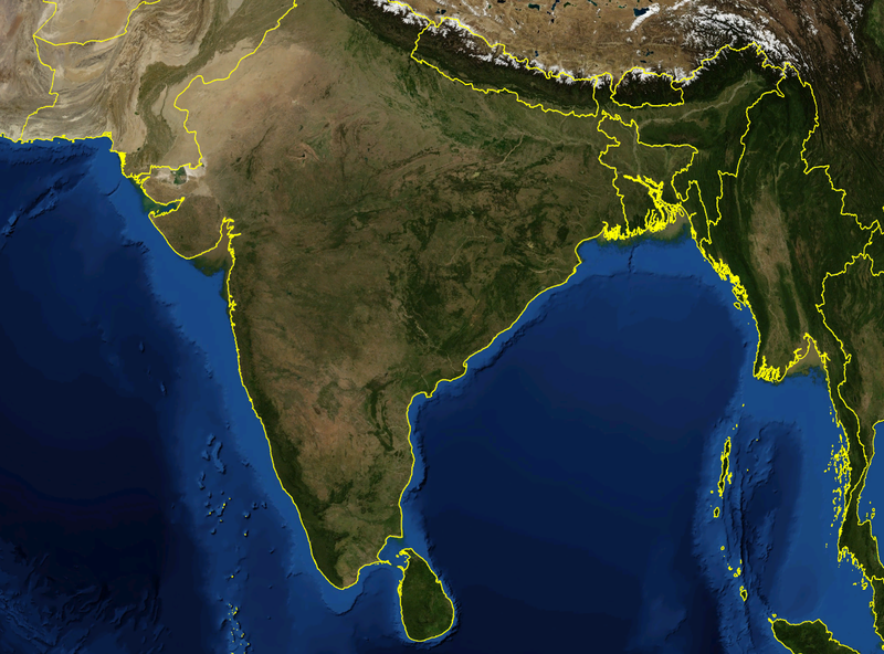
| Beskrywing | Satellite image of India and surrounding regions | |||
| Datum | ||||
| Bron | Eie werk | |||
| Outeur | Mgiganteus | |||
| Toestemming (Hergebruik van die lêer) |
|

| Annotations | This image is annotated: View the annotations at Commons |
Lêergeskiedenis
Klik op die datum/tyd om te sien hoe die lêer destyds gelyk het.
| Datum/Tyd | Duimnael | Dimensies | Gebruiker | Opmerking | |
|---|---|---|---|---|---|
| huidig | 14:21, 28 November 2007 | | 1 278 × 946 (1,51 MG) | Mgiganteus | {{Information |Description=Satellite image of India and surrounding regions |Source=self-made |Date=2007 |Author= Mgiganteus |Permission={{PD-WorldWind}} |other_versions= }} Category:Maps of India Category:South Asia [[Categor |
Lêergebruik
Die volgende bladsy gebruik dié lêer:
Globale lêergebruik
Die volgende ander wiki's gebruik hierdie lêer:
- Gebruik in ar.wikipedia.org
- Gebruik in ast.wikipedia.org
- Gebruik in ba.wikipedia.org
- Gebruik in be-tarask.wikipedia.org
- Gebruik in ca.wikipedia.org
- Gebruik in cy.wikipedia.org
- Gebruik in diq.wikipedia.org
- Gebruik in en.wikipedia.org
- 1932 in India
- 1822 in India
- 1934 in India
- 1937 in India
- 1870 in India
- 1946 in India
- 1911 in India
- 1939 in India
- 1945 in India
- 1943 in India
- 1931 in India
- 1941 in India
- 1857 in India
- 1906 in India
- 1944 in India
- 1930 in India
- 1889 in India
- 1942 in India
- 1874 in India
- 1922 in India
- 1936 in India
- 1905 in India
- 1940 in India
- 1935 in India
- 1921 in India
- 1885 in India
- 1869 in India
- 1875 in India
- 1938 in India
- 1853 in India
- 1818 in India
- 1877 in India
- 1919 in India
- 1861 in India
- 1923 in India
- 1924 in India
- 1925 in India
- 1907 in India
- User talk:Attenboroughii
- 1876 in India
- 1917 in India
- 1914 in India
- 1912 in India
Wys meer globale gebruik van die lêer.