
Lêer:Kiribati location map.svg

Oorspronklike lêer (SVG-lêer, normaalweg 1 488 × 673 piksels, lêergrootte: 68 KG)
Opsomming
| Beskrywing |
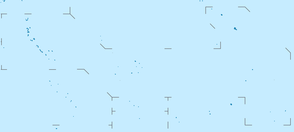
Deutsch: Positionskarte von Kiribati
Quadratische Plattkarte. Geographische Begrenzung der Karte:
English: Location map of Kiribati
Equirectangular projection. Geographic limits of the map:
|
|
| Datum | ||
| Bron |
Eie werk, using
|
|
| Outeur | NordNordWest | |
| Toestemming (Hergebruik van die lêer) |
This file is licensed under the Creative Commons Attribution-Share Alike 3.0 Germany license.
 This file is licensed under the Creative Commons Attribution-Share Alike 3.0 Germany license.
|
|
| Ander weergawes |
|


|
This map has been made or improved in the German Kartenwerkstatt (Map Lab). You can propose maps to improve as well.
|
Lêergeskiedenis
Klik op die datum/tyd om te sien hoe die lêer destyds gelyk het.
| Datum/Tyd | Duimnael | Dimensies | Gebruiker | Opmerking | |
|---|---|---|---|---|---|
| huidig | 15:52, 23 Februarie 2021 | | 1 488 × 673 (68 KG) | NordNordWest | Reverted to version as of 09:54, 1 April 2010 (UTC), sorry, but this is not location map style |
| 13:08, 23 Februarie 2021 |  | 1 488 × 673 (137 KG) | Amitchell125 | borders made visible with minor corrections | |
| 09:54, 1 April 2010 |  | 1 488 × 673 (68 KG) | NordNordWest | c | |
| 20:04, 5 Maart 2010 |  | 1 488 × 673 (84 KG) | NordNordWest | == {{int:filedesc}} == {{Information |Description= {{de|Positionskarte von Kiribati}} Quadratische Plattkarte. Geographische Begrenzung der Karte: * N: 6° N * S: 13° S * W: 169° O * O: 149° W {{en|Location map of [[:en:Kiribati|Kiriba |
Lêergebruik
Die volgende bladsy gebruik dié lêer:
Globale lêergebruik
Die volgende ander wiki's gebruik hierdie lêer:
- Gebruik in als.wikipedia.org
- Gebruik in an.wikipedia.org
- Gebruik in ar.wikipedia.org
- Gebruik in ast.wikipedia.org
- Gebruik in az.wikipedia.org
- Gebruik in ba.wikipedia.org
- Gebruik in be-tarask.wikipedia.org
- Gebruik in be.wikipedia.org
- Gebruik in bg.wikipedia.org
- Gebruik in bh.wikipedia.org
- Gebruik in bn.wikipedia.org
- Gebruik in bs.wikipedia.org
- Gebruik in ceb.wikipedia.org
Wys meer globale gebruik van die lêer.