
Lêer:MESSENGER EN0108828359M.png
Grootte van hierdie voorskou: 595 × 600 piksels. Ander resolusies: 238 × 240 piksels | 476 × 480 piksels | 1 016 × 1 024 piksels.
Oorspronklike lêer (1 016 × 1 024 piksels, lêergrootte: 692 KG, MIME-tipe: image/png)
Opsomming
| Beskrywing |
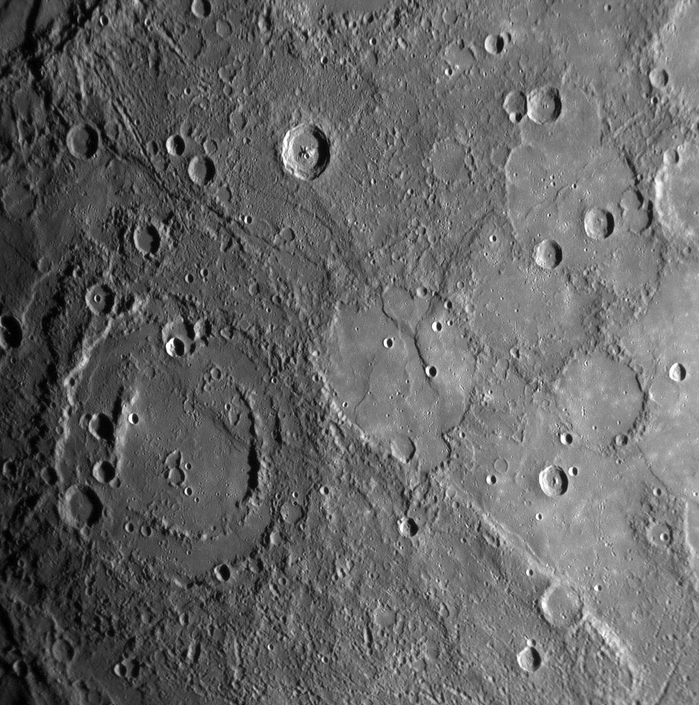
Original caption:
|
| Datum | |
| Bron | MESSENGER REVEALS MERCURY'S GEOLOGICAL HISTORY |
| Outeur | NASA/Johns Hopkins University Applied Physics Laboratory/Carnegie Institution of Washington |
Lisensiëring
| This file is in the public domain in the United States because it was solely created by NASA. NASA copyright policy states that "NASA material is not protected by copyright unless noted". (See Template:PD-USGov, NASA copyright policy page or JPL Image Use Policy.) | ||
 |
Warnings:
|
Lêergeskiedenis
Klik op die datum/tyd om te sien hoe die lêer destyds gelyk het.
| Datum/Tyd | Duimnaelskets | Dimensies | Gebruiker | Opmerking | |
|---|---|---|---|---|---|
| huidig | 16:01, 10 Februarie 2020 | | 1 016 × 1 024 (692 KG) | SteinsplitterBot | Bot: Image rotated by 180° |
| 22:00, 17 Januarie 2008 |  | 1 016 × 1 024 (691 KG) | Zginder | {{Information |Description=One of the photos released after the first flyby. |Source=http://messenger.jhuapl.edu/gallery/sciencePhotos/pics/EN0108828359M.png |Date= |Author= |Permission= |other_versions= }} |
Lêergebruik
Die volgende bladsy gebruik dié lêer:
Globale lêergebruik
Die volgende ander wiki's gebruik hierdie lêer:
- Gebruik in ar.wikipedia.org
- Gebruik in az.wikipedia.org
- Gebruik in bg.wikipedia.org
- Gebruik in bn.wikipedia.org
- Gebruik in en.wikipedia.org
- Gebruik in en.wikibooks.org
- Gebruik in en.wikiquote.org
- Gebruik in es.wikipedia.org
- Gebruik in fr.wikipedia.org
- Gebruik in gu.wikipedia.org
- Gebruik in he.wikipedia.org
- Gebruik in ko.wikibooks.org
- Gebruik in mk.wikipedia.org
- Gebruik in ml.wikipedia.org
- Gebruik in ro.wikipedia.org
- Gebruik in ta.wikipedia.org
- Gebruik in tr.wikipedia.org
- Gebruik in zh.wikipedia.org