
Lêer:Orange River and mountains, South Africa.jpg

Grootte van hierdie voorskou: 800 × 600 piksels. Ander resolusies: 320 × 240 piksels | 640 × 480 piksels | 1 024 × 768 piksels.
Oorspronklike lêer (1 024 × 768 piksels, lêergrootte: 376 KG, MIME-tipe: image/jpeg)
Opsomming
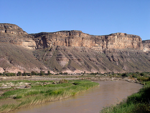
| Beskrywing | Orange River marks the border between South Africa and Namibia |
| Datum | |
| Bron | Orange River, South Africa |
| Outeur | Damien du Toit from Cape Town, South Africa |
Lisensiëring
This file is licensed under the Creative Commons Attribution 2.0 Generic license.
- U is vry:
- om te deel – die werk kopieer, versprei en deurgee
- om te hermeng – om die werk aan te pas
- Onder die volgende voorwaardes:
- naamsvermelding – U moet die nodige krediet gee, 'n skakel na die lisensie verskaf en aandui of daar veranderinge aangebring is. U mag dit op enige redelike manier doen, maar nie op enige manier wat daarop dui dat die lisensiegewer u of u gebruik onderskryf nie.
| This image, originally posted to Flickr, was reviewed on January 11, 2009 by the administrator or reviewer File Upload Bot (Magnus Manske), who confirmed that it was available on Flickr under the stated license on that date. |
Lêergeskiedenis
Klik op die datum/tyd om te sien hoe die lêer destyds gelyk het.
| Datum/Tyd | Duimnael | Dimensies | Gebruiker | Opmerking | |
|---|---|---|---|---|---|
| huidig | 17:28, 11 Januarie 2009 | | 1 024 × 768 (376 KG) | File Upload Bot (Magnus Manske) | {{Information |Description= Marks the border between South Africa and Namibia - check out the [http://en.wikipedia.org/wiki/Orange_River Wikipedia entry] for more information. |Source=[http://www.flickr.com/photos/51035677132@N01/186603100/ Orange River, |
Lêergebruik
Die volgende bladsy gebruik dié lêer:
Globale lêergebruik
Die volgende ander wiki's gebruik hierdie lêer:
- Gebruik in an.wikipedia.org
- Gebruik in de.wikipedia.org
- Gebruik in eu.wikipedia.org
- Gebruik in frr.wikipedia.org
- Gebruik in hr.wikipedia.org
- Gebruik in ka.wikipedia.org
- Gebruik in lv.wikipedia.org
- Gebruik in nl.wikipedia.org
- Gebruik in no.wikipedia.org
- Gebruik in ru.wikipedia.org
- Gebruik in uk.wikipedia.org
- Gebruik in www.wikidata.org
- Q224934
- Wikidata:WikiProject Geology/Lists of sedimentary units by country/South Africa
- Wikidata:WikiProject Geology/Lists of sedimentary units by country/Angola
- Wikidata:WikiProject Geology/Lists of sedimentary units by country/Zimbabwe
- Wikidata:WikiProject Geology/Lists of sedimentary units by country/Lesotho
- Wikidata:WikiProject Geology/Lists of sedimentary units by country/Namibia
- Wikidata:WikiProject Geology/Lists of sedimentary units by country/Swaziland