
Lêer:Romania (orthographic projection).svg

Size of this PNG preview of this SVG file: 553 × 553 piksels. Ander resolusies: 240 × 240 piksels | 480 × 480 piksels | 768 × 768 piksels | 1 024 × 1 024 piksels | 2 048 × 2 048 piksels.
Oorspronklike lêer (SVG-lêer, normaalweg 553 × 553 piksels, lêergrootte: 305 KG)
.svg)
Opsomming
| Beskrywing |
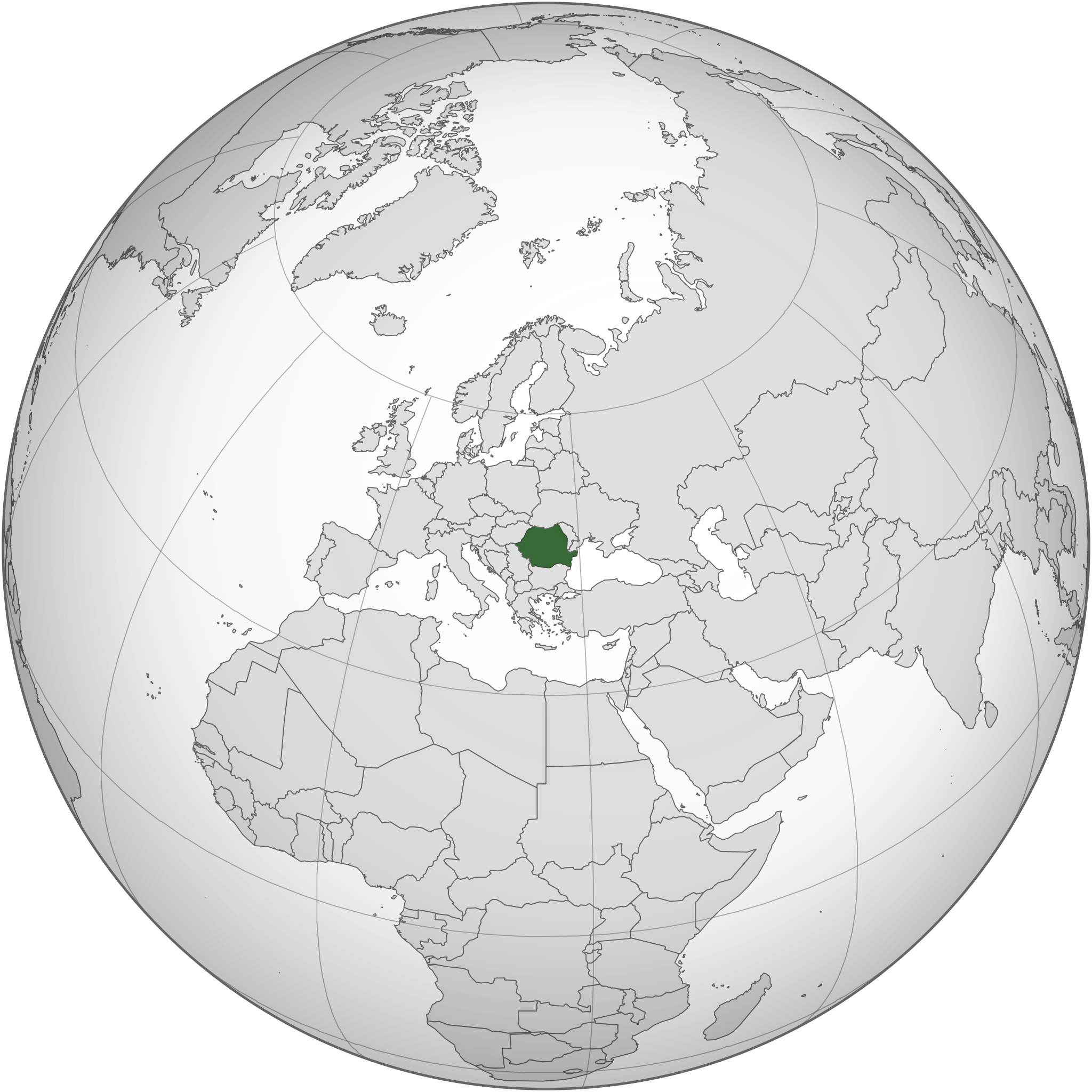
English: Romania and the EU orthographic projection
Română: România în cadrul UE. |
| Datum | |
| Bron |
This W3C-unspecified vector image was created with Inkscape . |
| Outeur | Luciandrei |
.svg)
Lisensiëring
Hierdie lêer is gelisensieer onder die Creative Commons Erkenning-Insgelyks Deel 3.0 Onoorgedraagde lisensie.
- U is vry:
- om te deel – die werk kopieer, versprei en deurgee
- om te hermeng – om die werk aan te pas
- Onder die volgende voorwaardes:
- naamsvermelding – U moet die nodige krediet gee, 'n skakel na die lisensie verskaf en aandui of daar veranderinge aangebring is. U mag dit op enige redelike manier doen, maar nie op enige manier wat daarop dui dat die lisensiegewer u of u gebruik onderskryf nie.
- insgelyks – As u die materiaal hermix, transformeer of voortbou, moet u u bydraes versprei onder die dieselfde of versoenbare lisensie as die oorspronklike.
Lêergeskiedenis
Klik op die datum/tyd om te sien hoe die lêer destyds gelyk het.
| Datum/Tyd | Duimnael | Dimensies | Gebruiker | Opmerking | |
|---|---|---|---|---|---|
| huidig | 18:34, 18 Maart 2015 | | 553 × 553 (305 KG) | Flappiefh | Added South Sudan. |
| 04:01, 27 Desember 2014 |  | 541 × 541 (463 KG) | Grachifan | Reverted to version as of 20:19, 6 September 2012 it's no necesary to show european union, just the location of romania | |
| 20:55, 6 September 2012 |  | 541 × 541 (633 KG) | TUBS | rv: Din't you get the theo other areas shows EU and the continent of Europe. It's maybe not the greatest map on Earth. It's no WWII thing, though. | |
| 20:19, 6 September 2012 |  | 541 × 541 (463 KG) | Incnis Mrsi | sorry, but the title reads "Romania (orthographic projection)", not "Romania, its fascist allies, their occupied territories and all lands yet to be conquered" ☺ | |
| 11:17, 10 Maart 2010 |  | 541 × 541 (633 KG) | Luciandrei | mici modificari | |
| 11:12, 10 Maart 2010 |  | 541 × 541 (633 KG) | Luciandrei | {{Information |Description={{en|1=Romania and the EU orthographic projection}} {{ro|1=România în cadrul UE.}} |Source=This map is based on:File:Europe_(orthographic_projection).svg by User:Ssolbergj |Author=Luciandrei |Date= |
.svg)
Lêergebruik
Die volgende bladsy gebruik dié lêer:
Globale lêergebruik
Die volgende ander wiki's gebruik hierdie lêer:
- Gebruik in az.wiktionary.org
- Gebruik in en.wikipedia.org
- Gebruik in es.wikipedia.org
- Gebruik in fr.wiktionary.org
- Gebruik in id.wikipedia.org
- Gebruik in ka.wikipedia.org
- Gebruik in mzn.wikipedia.org
- Gebruik in ro.wikibooks.org
- Gebruik in ru.wikipedia.org
- Gebruik in rw.wikipedia.org
.svg)