
Lêer:Turks and Caicos Islands location map.svg

Size of this PNG preview of this SVG file: 800 × 516 piksels. Ander resolusies: 320 × 206 piksels | 640 × 413 piksels | 1 024 × 660 piksels | 1 280 × 825 piksels | 2 560 × 1 651 piksels | 1 126 × 726 piksels.
Oorspronklike lêer (SVG-lêer, normaalweg 1 126 × 726 piksels, lêergrootte: 271 KG)
| Beskrywing |
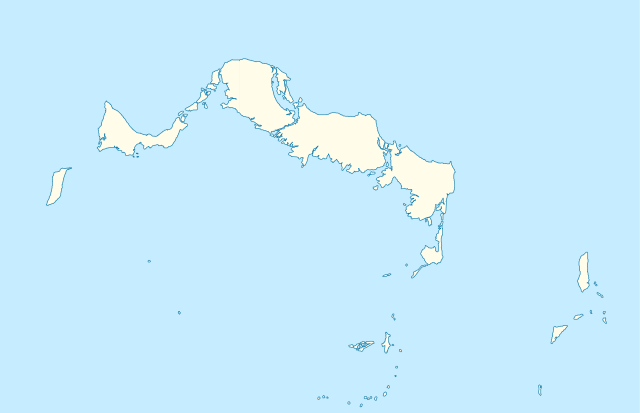
Deutsch: Positionskarte der Turks- und Caicosinseln
Quadratische Plattkarte, N-S-Streckung. Geographische Begrenzung der Karte:
English: Location map of the Turks and Caicos Islands
Equirectangular projection, N/S stretching. Geographic limits of the map:
|
| Datum | |
| Bron | own work, using the General Mapping Tools |
| Outeur | Carport |
| Toestemming (Hergebruik van die lêer) |
Hierdie lêer is gelisensieer onder die Creative Commons Erkenning-Insgelyks Deel 3.0 Onoorgedraagde lisensie.
|

|
This map has been made or improved in the German Kartenwerkstatt (Map Lab). You can propose maps to improve as well.
|
Lêergeskiedenis
Klik op die datum/tyd om te sien hoe die lêer destyds gelyk het.
| Datum/Tyd | Duimnael | Dimensies | Gebruiker | Opmerking | |
|---|---|---|---|---|---|
| huidig | 09:38, 9 April 2010 | | 1 126 × 726 (271 KG) | Carport | borders corrected |
| 09:30, 9 April 2010 |  | 1 126 × 726 (271 KG) | Carport | {{Information |Description= {{de|Positionskarte der {{w|Turks- und Caicosinseln|3=de}} }} Quadratische Plattkarte, N-S-Streckung. Geographische Begrenzung der Karte: * N: 22.10° N * S: 21.14° N * W: 72.60° W * O: 71.00° W {{en|Location map of the {{w| |
Lêergebruik
Die volgende bladsy gebruik dié lêer:
Globale lêergebruik
Die volgende ander wiki's gebruik hierdie lêer:
- Gebruik in an.wikipedia.org
- Gebruik in ar.wikipedia.org
- Gebruik in ast.wikipedia.org
- Gebruik in ba.wikipedia.org
- Gebruik in be-tarask.wikipedia.org
- Gebruik in be.wikipedia.org
- Gebruik in bg.wikipedia.org
- Gebruik in ceb.wikipedia.org
- Plantilya:Location map United Kingdom Turks and Caicos Islands
- Long Bay
- Bird Island
- High Rock
- Grassy Creek
- South Rock
- South Bluff
- Blue Hills
- White Cay
- Water Cay
- Southwest Point
- Salt Cay
- Caye de Sel
- Pine Cay
- Hog Cay
- Pelican Cay
- Pear Cay
- Mangrove Cay
- Long Cay
- Iguana Cay
- French Cay
- Fish Cays
- Cotton Cay
- Conch Cay
- Cockburn Town
- Chalk Sound
- Breezy Point
- The Bight
- Ambergris Cays
- Toney Rock
- East Cay
- Seal Cays
- Little Water Cay
- Sand Cay
- East Bay
- West Reef
Wys meer globale gebruik van die lêer.