
Lêer:SpainGuadianaBasin.png
Grootte van hierdie voorskou: 800 × 570 piksels. Ander resolusies: 320 × 228 piksels | 640 × 456 piksels | 1 024 × 730 piksels | 1 280 × 912 piksels | 1 751 × 1 248 piksels.
Oorspronklike lêer (1 751 × 1 248 piksels, lêergrootte: 2,27 MG, MIME-tipe: image/png)
Opsomming
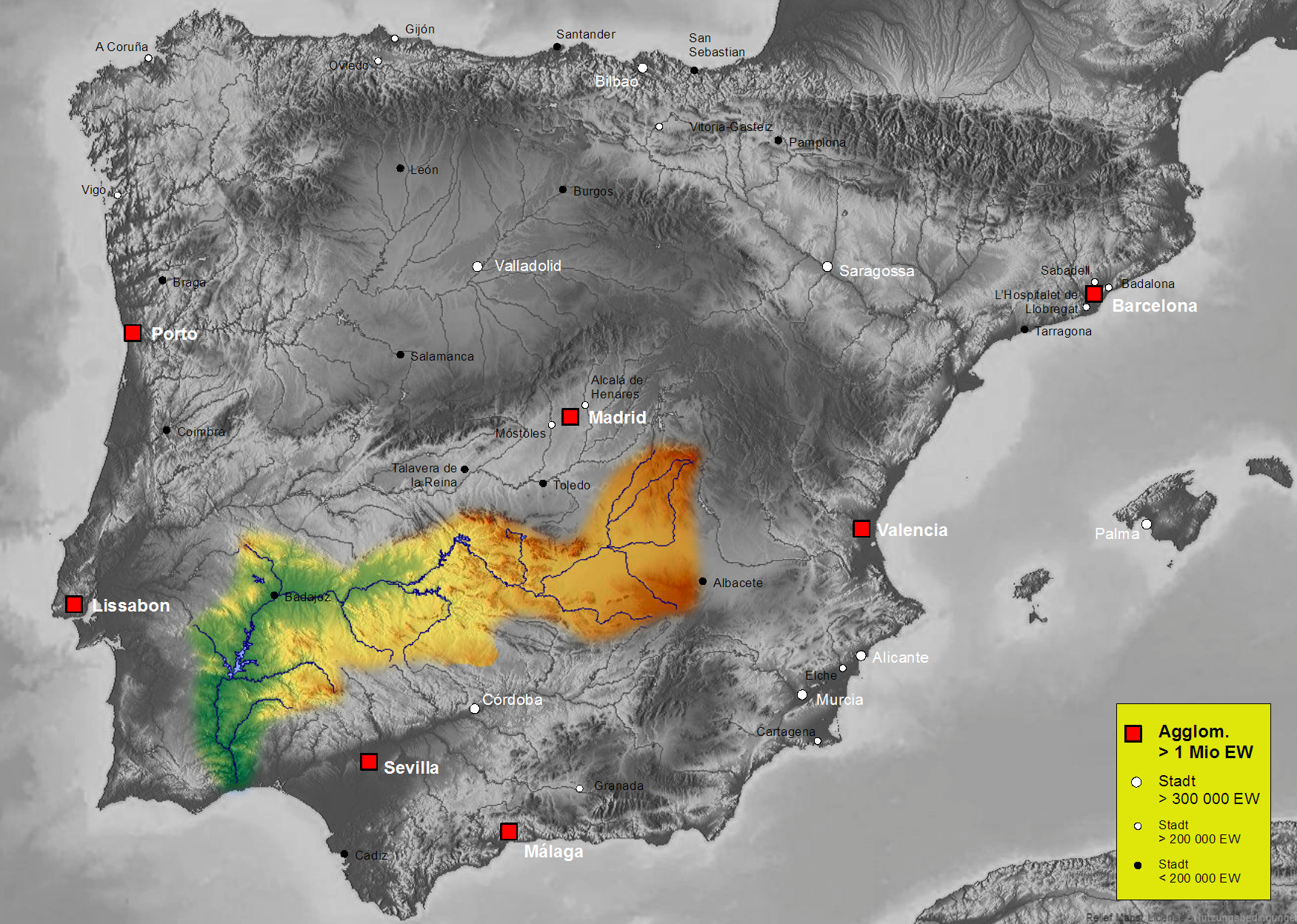
| Beskrywing | Map of Guadiana river basin in Spain, Karte des hydrogeografischen Beckens des Guadiana |
| Datum | |
| Bron | Own work, based on an image of http://www.maps-for-free.com/ (Creative Commons Attribution Share Alike 3.0) |
| Outeur | Port(u*o)s |
| Toestemming (Hergebruik van die lêer) |
Creative Commons Attribution Share Alike 3.0 |
Lisensiëring
Hierdie lêer is gelisensieer onder die Creative Commons Erkenning-Insgelyks Deel 3.0 Onoorgedraagde lisensie.
- U is vry:
- om te deel – die werk kopieer, versprei en deurgee
- om te hermeng – om die werk aan te pas
- Onder die volgende voorwaardes:
- naamsvermelding – U moet die nodige krediet gee, 'n skakel na die lisensie verskaf en aandui of daar veranderinge aangebring is. U mag dit op enige redelike manier doen, maar nie op enige manier wat daarop dui dat die lisensiegewer u of u gebruik onderskryf nie.
- insgelyks – As u die materiaal hermix, transformeer of voortbou, moet u u bydraes versprei onder die dieselfde of versoenbare lisensie as die oorspronklike.
Lêergeskiedenis
Klik op die datum/tyd om te sien hoe die lêer destyds gelyk het.
| Datum/Tyd | Duimnael | Dimensies | Gebruiker | Opmerking | |
|---|---|---|---|---|---|
| huidig | 16:44, 7 Oktober 2021 | | 1 751 × 1 248 (2,27 MG) | Lojwe | Santiago mal posicionada |
| 01:56, 5 Februarie 2019 |  | 1 751 × 1 248 (2,44 MG) | TouchName | recorte de marco | |
| 01:59, 30 Oktober 2007 |  | 1 808 × 1 307 (2,48 MG) | Port(u*o)s | == Summary == {{Information |Description=Map of Guadiana river basin in Spain, Karte des hydrogeografischen Beckens des Guadiana |Source= Own work, based on an image of http://www.maps-for-free.com/ (Creative Commons Attribution Share Alike 3.0) |Date=Oct |
Lêergebruik
Die volgende bladsy gebruik dié lêer:
Globale lêergebruik
Die volgende ander wiki's gebruik hierdie lêer:
- Gebruik in ast.wikipedia.org
- Gebruik in be.wikipedia.org
- Gebruik in cs.wikipedia.org
- Gebruik in cv.wikipedia.org
- Gebruik in da.wikipedia.org
- Gebruik in de.wikipedia.org
- Gebruik in el.wikipedia.org
- Gebruik in en.wikipedia.org
- Gebruik in es.wikipedia.org
- Guadiana
- Río Zújar
- Río Guadámez
- Río Guadalupe
- Riánsares
- Anexo:Ríos de España
- Río Ardila
- Río Gévora
- Usuario discusión:NACLE
- Río Estena
- Río Guadajira
- Río Caya
- Río Albarregas (España)
- Río Chanza
- Río Bedija
- Cuenca hidrográfica del Guadiana
- Godolid
- Río Estenilla
- Usuario:Strakhov/FOT
- Arroyo Grande (Castilblanco)
- Gebruik in fr.wikipedia.org
- Gebruik in he.wikipedia.org
- Gebruik in hu.wikipedia.org
- Gebruik in is.wikipedia.org
- Gebruik in ja.wikipedia.org
- Gebruik in kk.wikipedia.org
- Gebruik in ko.wikipedia.org
Wys meer globale gebruik van die lêer.