
Lêer:Old Greenland 1747.jpg

Oorspronklike lêer (2 048 × 1 307 piksels, lêergrootte: 2,23 MG, MIME-tipe: image/jpeg)
Opsomming
| Beskrywing |
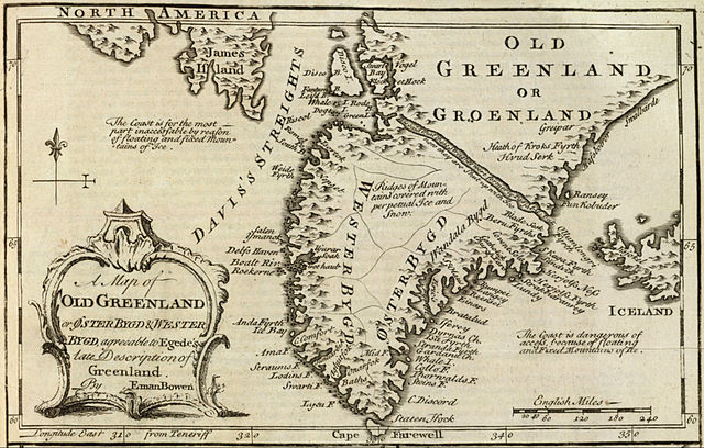
English: Cropped and rotated from the original.
|
| Datum | |
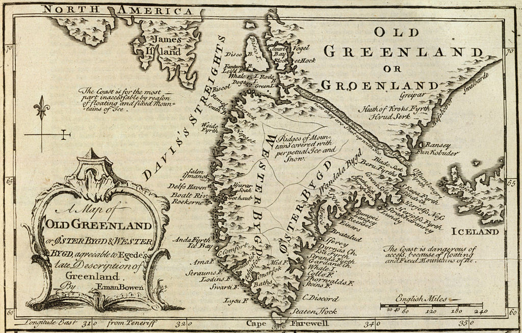
| Bron | David Rumsey Collection |
| Outeur | Emanuel Bowen (c. 1694–1767) |
Lisensiëring
|
This is a faithful photographic reproduction of a two-dimensional, public domain work of art. The work of art itself is in the public domain for the following reason:
The official position taken by the Wikimedia Foundation is that "faithful reproductions of two-dimensional public domain works of art are public domain".
This photographic reproduction is therefore also considered to be in the public domain in the United States. In other jurisdictions, re-use of this content may be restricted; see Reuse of PD-Art photographs for details. | ||||
Lêergeskiedenis
Klik op die datum/tyd om te sien hoe die lêer destyds gelyk het.
| Datum/Tyd | Duimnael | Dimensies | Gebruiker | Opmerking | |
|---|---|---|---|---|---|
| huidig | 15:21, 10 Mei 2012 | | 2 048 × 1 307 (2,23 MG) | LlywelynII |
Lêergebruik
Die volgende bladsy gebruik dié lêer:
Globale lêergebruik
Die volgende ander wiki's gebruik hierdie lêer:
- Gebruik in ar.wikipedia.org
- Gebruik in bs.wikipedia.org
- Gebruik in ca.wikipedia.org
- Gebruik in ceb.wikipedia.org
- Gebruik in cs.wikipedia.org
- Gebruik in en.wikipedia.org
- Gebruik in es.wikipedia.org
- Gebruik in fa.wikipedia.org
- Gebruik in fy.wikipedia.org
- Gebruik in io.wikipedia.org
- Gebruik in ko.wikipedia.org
- Gebruik in pt.wikipedia.org
- Gebruik in sv.wikipedia.org
- Gebruik in te.wikipedia.org
- Gebruik in tr.wikipedia.org
- Gebruik in uk.wikipedia.org
- Gebruik in www.wikidata.org
- Gebruik in zh.wikipedia.org