
Lêer:South America (orthographic projection).svg

Size of this PNG preview of this SVG file: 541 × 541 piksels. Ander resolusies: 240 × 240 piksels | 480 × 480 piksels | 768 × 768 piksels | 1 024 × 1 024 piksels | 2 048 × 2 048 piksels.
Oorspronklike lêer (SVG-lêer, normaalweg 541 × 541 piksels, lêergrootte: 93 KG)
| Beskrywing |
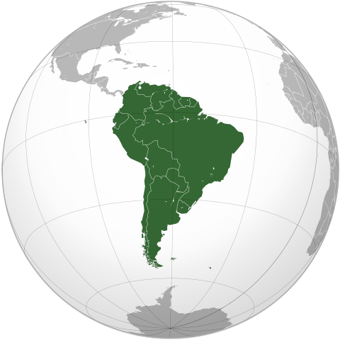
Português: South America (orthographic projection) |
||||
| Datum | |||||
| Bron |
Português: Imagem feita a partir de Brazil (orthographic projection).svg. |
||||
| Outeur |
by Luan |
||||
| Toestemming (Hergebruik van die lêer) |
Ek, die outeursreghouer van hierdie werk, publiseer dit onder die volgende lisensie: This file is licensed under the Creative Commons Attribution 3.0 Unported license.
|
||||
| Ander weergawes |
Derivative works of this file: |
||||
| SVG genesis | SVG watermarked with invisible embedded text. |

.svg)
.svg)
.png)
Lêergeskiedenis
Klik op die datum/tyd om te sien hoe die lêer destyds gelyk het.
| Datum/Tyd | Duimnael | Dimensies | Gebruiker | Opmerking | |
|---|---|---|---|---|---|
| huidig | 20:24, 12 September 2012 | | 541 × 541 (93 KG) | Palosirkka | Scrubbed with http://codedread.com/scour/ |
| 20:08, 3 Julie 2009 |  | 541 × 541 (386 KG) | Luan | {{Information |Description= {{pt|Projeção ortográfica da América do Sul.}} |Source= {{pt|Imagem feita a partir de Brazil (orthographic projection).svg.}}{{Inkscape}}{{GFDL-GMT}} |Date= 2009-07-03 |Author= |
.svg)
Lêergebruik
Die volgende 58 bladsye gebruik dié lêer:
- Afrika
- Afrika-Eurasië
- Amerikas
- Antarktika
- Argentinië
- Asië
- Asunción
- Australië (kontinent)
- Bogotá
- Bolivië
- Brasilië
- Brasília
- Buenos Aires
- Caracas
- Cayenne
- Chili
- Colombia
- Ecuador
- Eurasië
- Europa
- Falkland-eilande
- Frans-Guyana
- Galápagos-eilande
- Georgetown, Guyana
- Gondwana
- Grytviken
- Guyana
- Hoofstad
- King Edward Point
- Laurasië
- Lima
- Lys van hoofstede
- Lys van lande
- Lys van nasionale leuses
- Montevideo
- Noord-Amerika
- Oseanië
- Paraguay
- Paramaribo
- Peru
- Quito
- Santiago de Chile
- Stanley
- Sucre
- Suid-Amerika
- Suid-Georgië en die Suidelike Sandwicheilande
- Suriname
- Uruguay
- Vaalbara
- Venezuela
- Sjabloon:Hoofstede in Suid-Amerika
- Sjabloon:Kontinente
- Sjabloon:Lande van Amerika
- Sjabloon:Lande van Suid-Amerika
- Kategorie:Afhanklike gebiede in Amerika
- Kategorie:Afhanklike gebiede in Suid-Amerika
- Kategorie:Lande in Amerika
- Kategorie:Lande in Suid-Amerika
Globale lêergebruik
Die volgende ander wiki's gebruik hierdie lêer:
- Gebruik in ab.wikipedia.org
- Gebruik in ady.wikipedia.org
- Gebruik in am.wikipedia.org
- Gebruik in an.wikipedia.org
- Gebruik in arc.wikipedia.org
- Gebruik in ar.wikipedia.org
- آسيا
- أوروبا
- قارة
- أستراليا
- القارة القطبية الجنوبية
- أوقيانوسيا
- أمريكا الشمالية
- أمريكا الجنوبية
- بوابة:آسيا
- بوابة:أوروبا
- العالم الجديد
- أوراسيا
- أطلانطس
- الأمريكتان
- شبه القارة الهندية
- بانجيا
- تصنيف:تصنيفات حسب القارة
- ويكيبيديا:صناديق المستخدم/بلدان
- غندوانا
- أفرو-أوراسيا
- ويكيبيديا:مشروع تحسين و تطوير مقالات الدول/ترتيب بلد الأسبوع
Wys meer globale gebruik van die lêer.
.svg)
.svg)